Abbot Loop (East), Danby State Forest
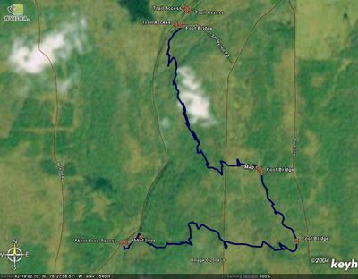
Hiked about 6 miles in the Danby State Forest today. Started from Michigan Hollow road and went east through the Abbot Loop, which eventually connects with the Finger Lakes Trail. I took that back to Michigan Hollow road and walked down the road back to my Jeep. The entire hike was about 6 miles and it took me about 3 hours. The temperature was wonderful today, especially when compared to the past two days. It was easily above freezing and at some points I wanted to take my jacket off. By the time I got back to Michigan Hollow road, the snow and ice that was there when I first arrived had melted, leaving murky puddles behind.
The picture of Diane's Crossing is actually on the west side of Michigan Hollow, but last time I hiked by it, the batteries in my camera were dead, so I wanted another chance!
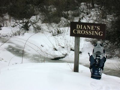
My Snowshoes @ Diane's Crossing, Danby State Forest
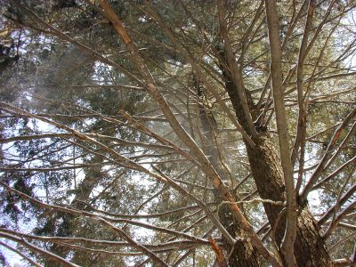
Looking up at the Eastern Hemlocks, Danby State Forest
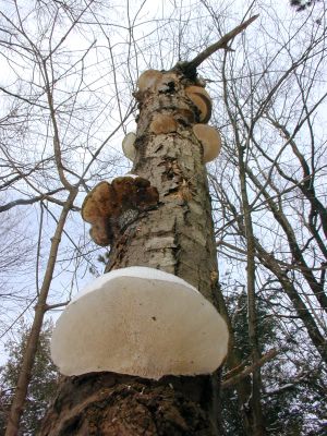
Some fungi growing on a (possibly) dead tree, Danby State Forest
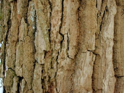
The bark of a deciduous tree, Danby State Forest
Here is a satellite image of the area. In dark blue is an overlay of my track, generated by my GPS.
The eastern side of Abbot Loop.
The picture of Diane's Crossing is actually on the west side of Michigan Hollow, but last time I hiked by it, the batteries in my camera were dead, so I wanted another chance!
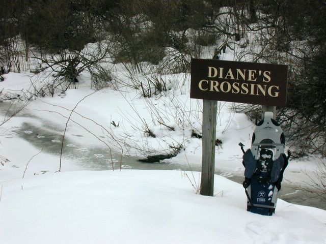
My Snowshoes @ Diane's Crossing, Danby State Forest
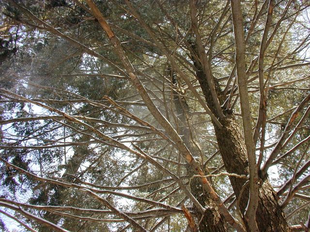
Looking up at the Eastern Hemlocks, Danby State Forest
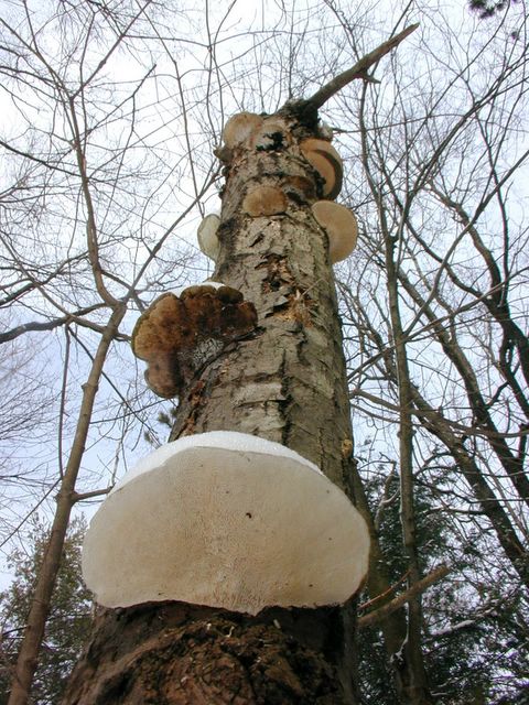
Some fungi growing on a (possibly) dead tree, Danby State Forest

The bark of a deciduous tree, Danby State Forest
Here is a satellite image of the area. In dark blue is an overlay of my track, generated by my GPS.

The eastern side of Abbot Loop.
posted by xRockyRaccoon at 10:48 PM
![]()


0 Comments:
Post a Comment
<< Home